WebGis
Geographic Information System
The system is independent of the operating system, available through a simple browser, it does not require any software installation for its operation; the application can be visible within a local network, or on the web depending on the needs; of course its authentication system ensures confidentiality and data security.
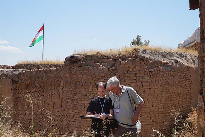
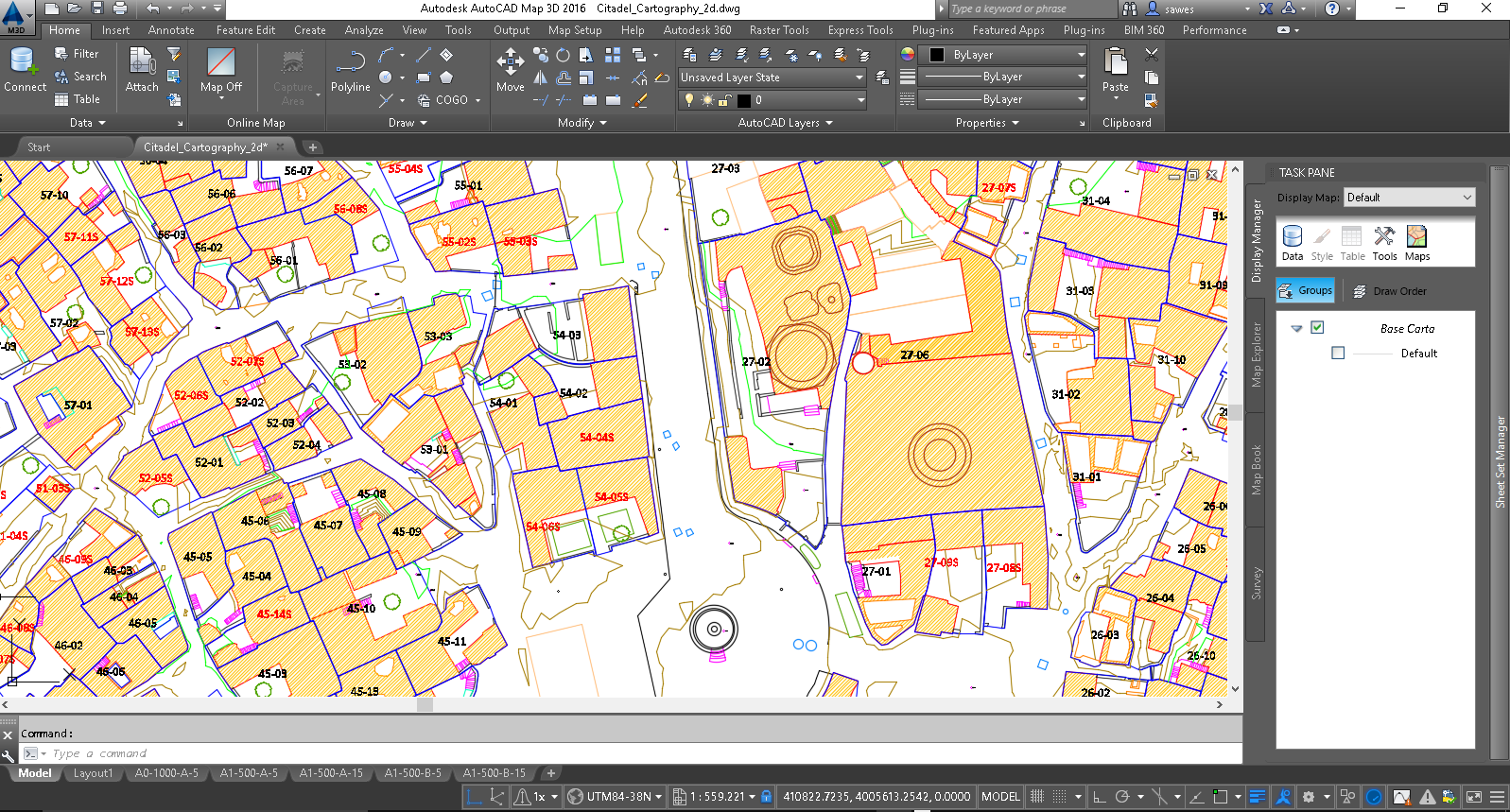
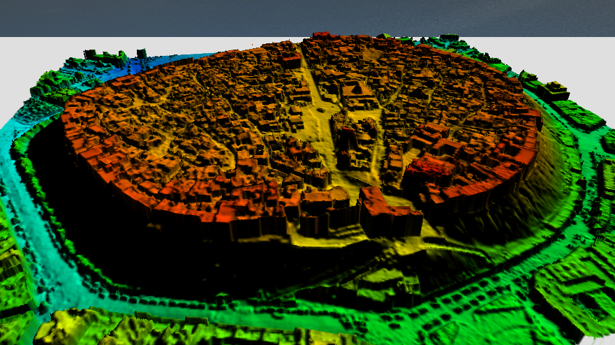
Erbil citadel is divided into 59 blocks, each one of which contains a number of “plot”. Each “plot” is a housing unit. For each one of these it was created a data sheet, that identifies the location on the general map and, contains all the information that characterize it; every plot is associated with other tables that contain: the carried surveys, interventions, rehabilitation projects, studies etc.
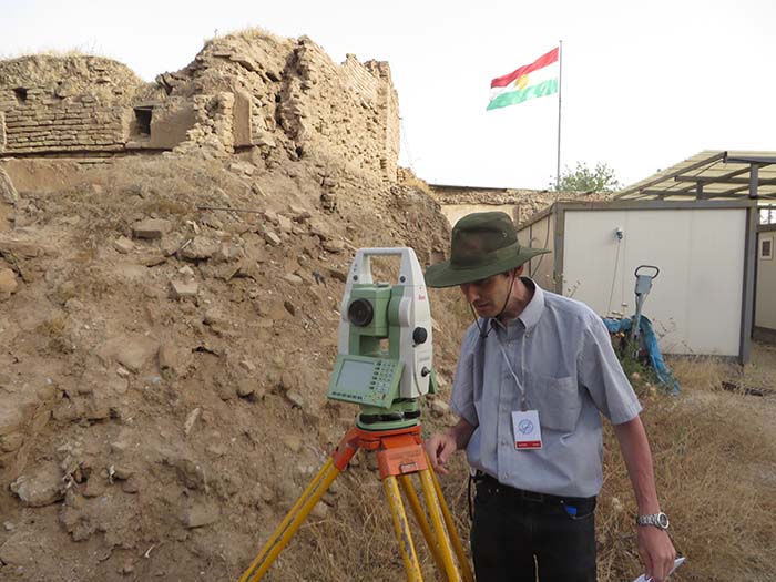
Also the archaeological sites, has been associated with a card that contains the general characteristics such as: the name of the area, the depth of excavation, the area and the description. All the conducted (or planned) activities in the area are listed in another table, for each activity are indicated: the authorities, the partners, the team, the name, the season, the start date and estimated end, the actual date of start and end.
Both for the plot and for the archaeological areas, to each activity corresponds a part in document management, where the documents concerning the activity performed are stored.
The WebGis map is enriched with additional layers, for example, the project of the new electrical network, the sewage system and the water supply; in addition to layers of maps produced as buildings, walls, existing green, contours, etc.
For the plot were set different themes, such as the use category, the status of the interventions, the type and classification etc.
The system is equipped with various tools: search allows us to select one or more plots which meet the same criteria, and the results can be exported to excel sheets; The zoom tools, pan, graphics selection, measurement of lengths or areas, make it easy the use tool for non “experts”. The system allows to set the scale of representation both on the map that we display screen, both on the printing, so we can get the scale prints of the areas that we are interested both in PDF or as geo referenced Tiff.
A general section allows you to check the activities that concern the entire site, such as events and activities, visitors, financial transactions, etc.
|
Document Management
To each housing unit or archaeological site, corresponds a space in the document management system where all documents can be stored in any format, such as photos, reports, tables, films, technical drawings etc.
As described in the WebGis, for each unit are associated multiple tables divided into two main areas:
Documentation e studies (rapid surveys, architectural documentation, analysis and investigation of conditions, conservation and restoration studies).
Interventios(Maintenance,Conservation, Restoration)
For each of the previous areas we can insert a row with various fields that characterize it such as: the date, the project manager, the company, etc ....;
for each insterted record, in the WebGis, the system provides to insert, in the document management system, one or more folders for the containment of the various documents.
To each “activity” on a archaeological site are associated more than one folder for containing the various documents of the activity in question; such as drawings, pictures, plants, reports, results of investigations and studies.
The different users of the system, according to their assigned permissions, can insert, edit, delete documents; regarding, for example, text documents or spreadsheets, they can be edited with Microsoft Office, LibreOffice, Google Docs also online.
The system can be used both for internal use for the management of the site, both for publishing documents for the exploitation of the same; you can instantly share documents with facebook, twitter, google + etc.
The documents in the document management system can be accessible through FTP, WebDAV, CIFS, SOAP, SharePoint, LDAP, etc. so immediately usable with any device. The graphical interface, which can be accessed from any browser, provides all the tools for managing documents and revisions of them.
The powerful engine for indexing and searching content immediately allows you to locate any document in the handler, through words or phrases contained in those documents.
In addition to the classic directory method, the tags and categories, allows for additional document classification methods.
The possibility of implementing a system of rules allows the automation of processes and a correct flow of documentary process.
|
|
The sheets of the various “objects” are set up for Multilingual for international use of the system.
The entire system was developed using various open-source software, each one is a leader in its field: Postgres with the geospatial extension, PostGIS as database; Alfresco as a document management, MapServer for displaying maps.
The implementation of the application and integration between the two systems has been developed internally by the Risviel; independent from the operating system, it works inside a browser without needing any installation.
The security and confidentiality of data is ensured by a solid access system through username and password which determine user permissions inside the system.
The structure of the system was designed for any future expansions.
Risviel is able to customize the system according to customer requirements, and to follow him in all or part of the steps that contribute to the construction of the system, both for the cartographic part that for the documental and the classification of documents.
The system allows to go from the general to the particular, activating for example layers and appropriate documents in a specific scale range; in the case of the Erbil citadel for the part regarding the buildings, at the moment are implemented the layers Block and Plot, but you might add others to go down to single particular: Citadel>Block->Plot->Building>Floor>Room>Furniture......
The system could also be used for the information disclosure to tourists via the web, social networks, or app (to be developed). The visitor could use the information (updated boards) concerning the place in which it is located, both virtually from remote or on site; in the latter case the geolocation would be provided by the GPS inside the smartphone or other more precise geolocation systems; in this way you could also optimize the visits, diverting users in less crowded places, with dynamic routes, also having report on the visits and routes.
|